World
Mark the countries you have been to.
- World195 countries, plus 42 territories you can mark separately
Turn the places you’ve explored into a beautiful personalized travel map. Track your journey, celebrate your adventures, and share your story.
Free to use. No account. Your map stays on your device.
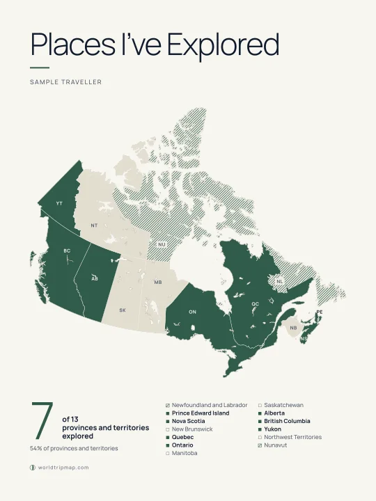
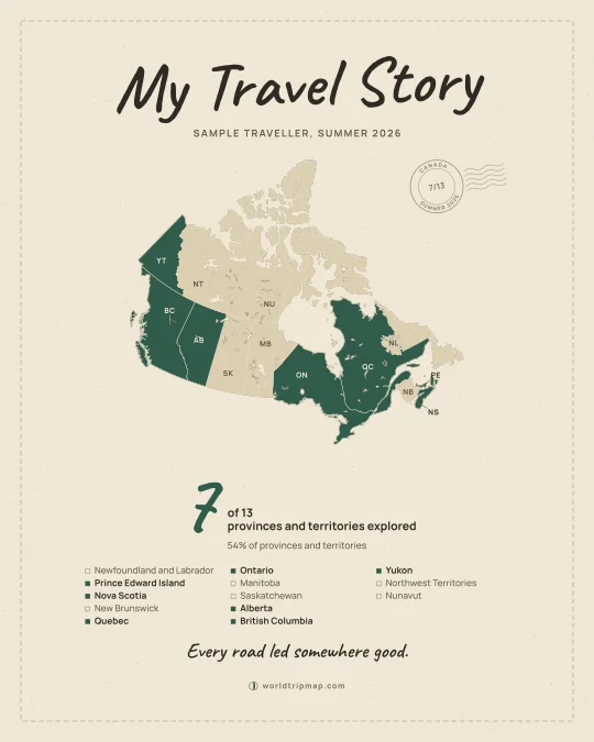
An example poster, made here with sample data
Three levels, each with its own progress. Fill in one, or keep all three.
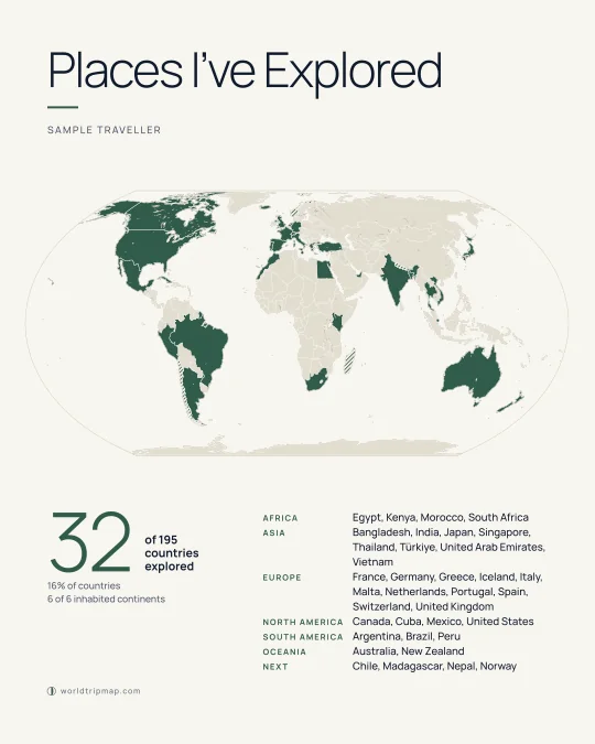
Mark the countries you have been to.
Go province by province, state by state.
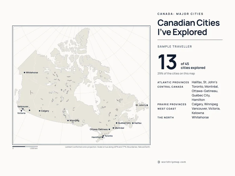
Track the cities you have explored.
This is the real map, not a picture of one. Tap a province or territory, or tick it in the list. Your marks are saved on this device as you go.
Loading the map…The interactive map needs JavaScript. Turn it on in your browser to mark places.The map did not load. Check your connection, then .
Loading the map…The interactive map needs JavaScript. Turn it on in your browser to mark places.The map did not load. Check your connection, then .
Loading the map…The interactive map needs JavaScript. Turn it on in your browser to mark places.The map did not load. Check your connection, then .
WorldTripMap does a small number of things and does them properly.
Create my mapFour steps, a few minutes, no forms.
Start with the world, Canada’s provinces and territories, or Canadian cities.
Tap the map or tick the list. Your count updates as you go.
Pick a poster design, then add a title, your name, dates and a caption.
Save a PNG or a print-ready PDF, share a picture, or challenge a friend.
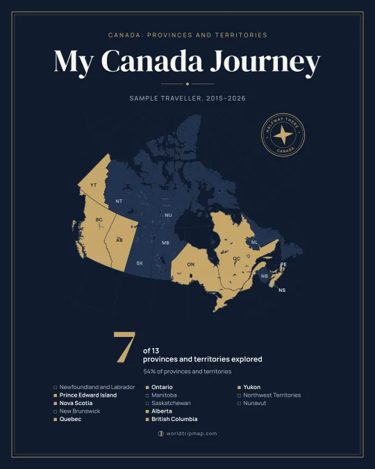
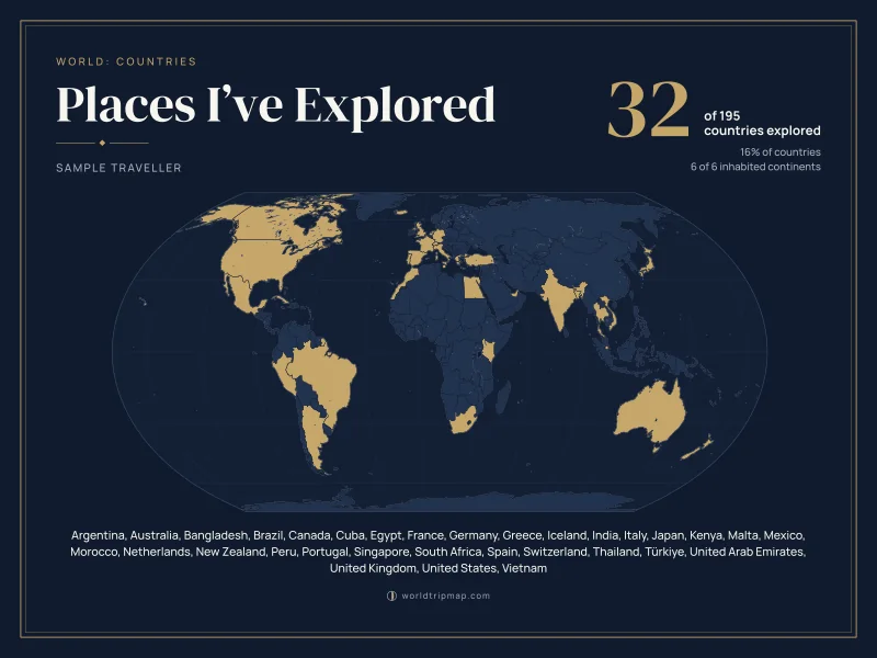
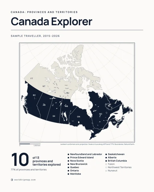
Every poster below was drawn by the same studio you will use, from made-up travels. Yours will show your own places.
Short, checked guides for people who keep count of where they have been.
The usual answer is 195. Depending on who is counting you will also see 193, 211, 249 and 330. Here is where each number comes from and how to pick one for your own travel tally.
All 195 countries in one list, grouped by continent, with a box beside each. Print this page or the one-page PDF, or tick them on the world map and let it keep count.
Canada has 10 provinces and 3 territories. Here is each one with its capital, size and population, how they group into five regions, and what actually separates a province from a territory.
Canada has 48 national parks: 37 national parks and 11 national park reserves, plus one national urban park. Here is every one by province and territory, with a box to tick.
There are three kinds of travel map: fill-in, pin and route. Pick the one that matches what you want to show, then follow the steps to make a fill-in map in a few minutes.
Use the PDF when you can, match the shape of the file to the frame, and check the pixel count if you print from a PNG. The table below does the arithmetic for common sizes.
Something else? Get in touch.
Yes. Marking places, designing a poster and downloading it as a PNG or a PDF are all free, and there is no account to create.
No account. Your map is saved in your own browser, on the device you are using. Nothing is uploaded to us, which also means your map does not follow you to another device by itself. To move it, open Share on the map and send yourself the link.
It is the number of places you have marked divided by the number on that map: 13 provinces and territories for Canada, 195 countries for the world. It is a count of places, not a share of land area. On the Canada map you can go one step further: tick the places you saw inside each province, and each province gets its own percentage, with one for the whole country. How we count.
195: the 193 member states of the United Nations, plus the Holy See and Palestine, the two states with permanent observer status. You can also mark 42 territories and other areas, such as Greenland, Hong Kong and Puerto Rico. Those are counted on a separate line.
Yes. Posters download as vector PDFs at 8 × 10 in, 18 × 24 in, 24 × 18 in and A3, and stay sharp at other sizes with the same proportions. There are PNG files up to 4,809 pixels on the long side as well. How to print a travel map poster.
Choose Challenge a friend on any map and send the link. Your friend sees how many places you have explored, marks their own map, and then compares the two side by side. The link itself carries your places. We never store them.
Yes. Tap places on the map, pinch to zoom, or tick them in the list underneath, which is easier for small places. Posters can be designed and saved on a phone too.
The United States by state and Bangladesh by district are planned, followed by more countries and cities. They are labelled “Coming soon” on the maps page until they work fully.